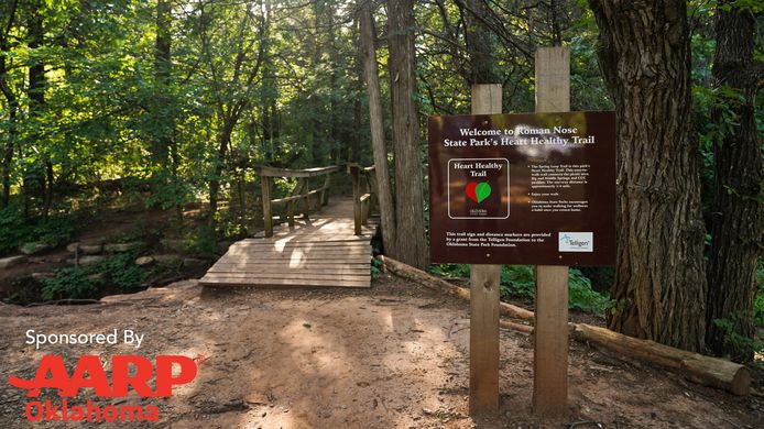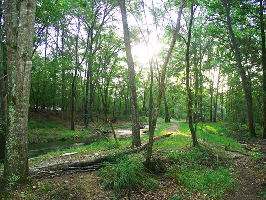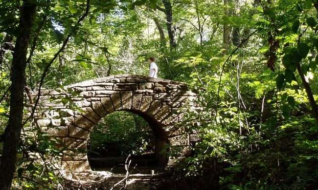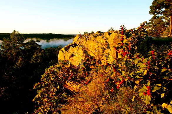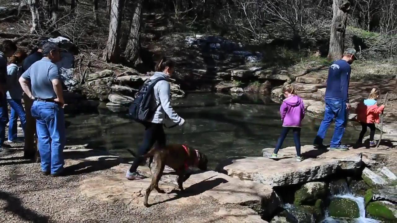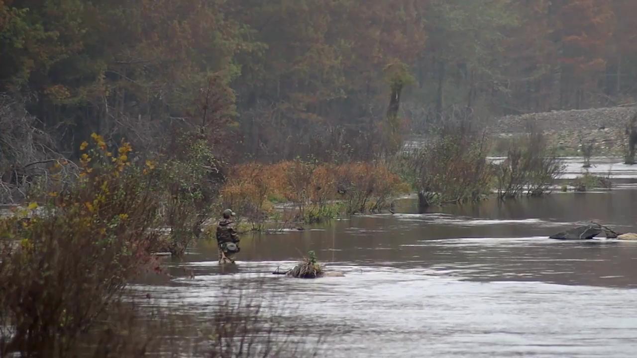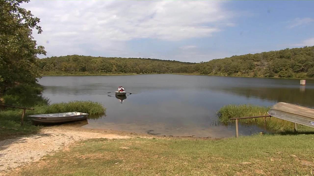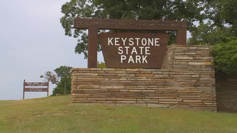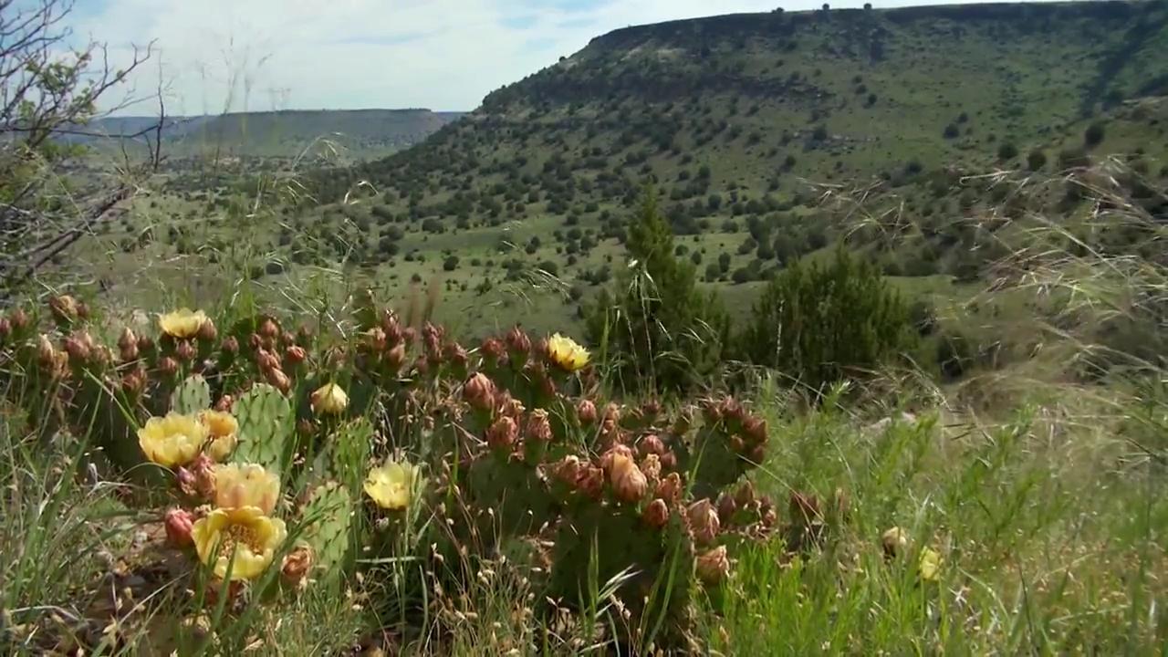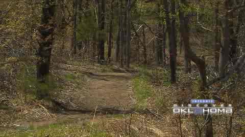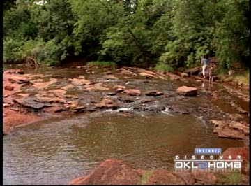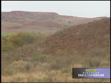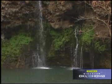
First Day Hikes at Oklahoma State Parks
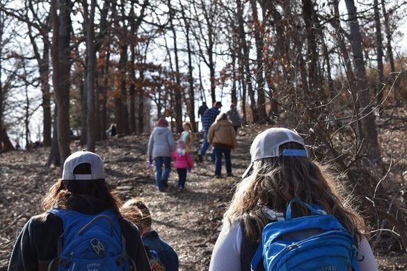
Start 2024 off on the right foot with a rewarding hike through one of Oklahoma's scenic state parks. Get a head start on those fitness resolutions, embark on a guided nature-watching adventure, or simply enjoy the crisp January air with friends and family.